To the south Kegnæs borders the Flensborg Fjord and to the west and north it is the Bay of Sønderborg and Lillehavet embracing the peninsula. Only access to the island of Als is the dam Drejet.
In the past the parish of Kegnæs bordered the parish of Lysabild. Nowadays the whole of Als and Sundeved is comprised into the larger municipality of Sønderborg.
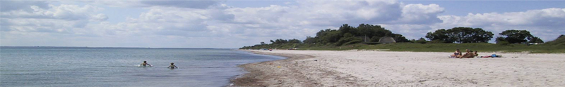
The parish comprises almost 17 km2. Today approximately 750 inhabitants live on the peninsula year around but just 150 years ago the number was over 1000. The moraine soils are rather fertile and lacking scrubs and forest vegetation.
Family farms and spread out groups of houses dominate the landscape. Only Sønderby and Østerby form small villages. In 1700 Kegnæs comprised 3 smaller country parishes: Sønderby/Østerby, Hjortholm and Nygaard.
In the Stone- and Bronze Age the population was dense but during the following 1500 years no further settlement took place. In historic times Kegnæs was initially an uninhabited forest area, which after 1373 was managed by the manor Kegnæsgaard just outside the village of Skovby. During the 16th century the forest vegetation was destroyed by intensive pig farming.
Following that development, the Duke of Sønderborg, Hans the Younger governing Als from 1571-1622, decided to clear the remaining forest and establish 3 villages instead. See (History).
In the largest, Sønderby, a church was built and inaugurated in 1615. The first inhabitants on Kegnæs were initially people owing money to the Duke. In 1765/66 Kegnæs was parcelled into spread out family farms of different size and thereby finding the structure which is still seen today. During the Storm Surge of 1872 parts of the peninsula were flooded and seriously damaged.